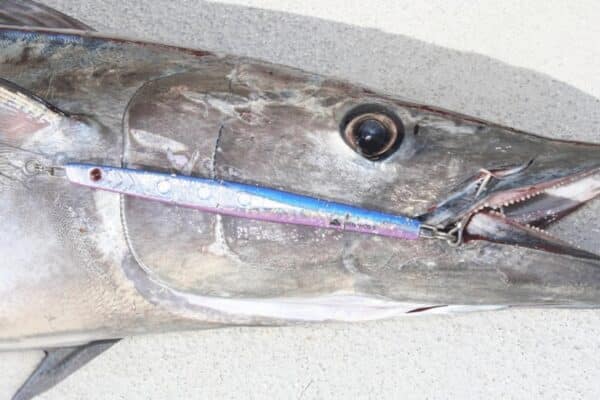
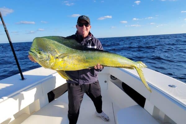
In this video, we walk through how to use Satfish to plan your offshore fishing trips more effectively. Starting from the Satfish dashboard, you’ll learn how to navigate regional maps—like the Baja, Los Cabos, and East Cape zones—and use satellite imagery to track sea surface temperatures (SST) and chlorophyll levels. Follow along as we monitor water clarity and identify productive temperature breaks off Cabo San Lucas, a crucial factor for targeting species like marlin, mahi, wahoo, and tuna. Discover how using one-day chlorophyll composites helps overcome cloud cover, and how combining SST and water quality data can put you in the right fishing zone every time. Whether you’re moving a boat or just scouting for your next trip, this guide will help you get the most out of Satfish’s tools and maps.
Satellite Fishing Maps & Charts | SatFish