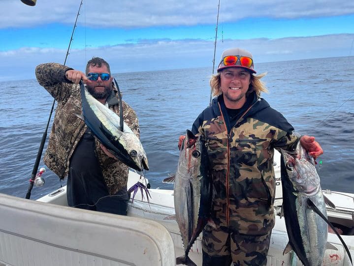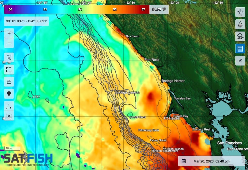
SatFish’s Northern California offshore fishing map is a critical tool to locate the offshore sea surface temperature (SST) and water color (chlorophyll) breaks that hold albacore during the summer and fall months, and the cold, nutrient-rich water for spring and summertime king salmon. Even when it’s cloudy, our cloud-free SST and 1- and 3-day composites will still point you to the right general area to look for life and gamefish. Plus, our 5-day wind forecast helps you pick out the right window to make your run offshore.
Our Northern California fishing chart covers the entire north coast from the Oregon border down to the Bay Area, providing full coverage of the inshore and offshore fishing grounds accessible from Eureka, Fort Bragg, and Bodega Bay.
Frequently Asked Questions
What is the Northern California offshore fishing map used for?
This map helps you spot SST (sea surface temperature) breaks and chlorophyll edges that often hold offshore fish. It’s especially useful for planning efficient runs and avoiding unproductive water.
How does this map help for the albacore season in Northern California?
During summer and fall, albacore often relate to specific temperature ranges and sharp SST breaks offshore. SatFish SST and chlorophyll layers help you identify those edges so you can start in the right zone.
Can these maps help with king salmon fishing, too?
Yes. Salmon commonly relate to cold, nutrient-rich water and productive zones closer to the coast in spring and summer. SST and chlorophyll patterns can help you track where those conditions are set up.
What should I use when it’s cloudy offshore?
Use cloud-free SST plus the 1-day and 3-day composite layers to maintain coverage when standard SST shots are blocked. These layers still guide you to the best general area to begin your search for life and game fish.
How can wind forecasts help me plan an offshore run?
The 5-day wind forecast helps you choose a safer weather window and avoid rough seas. It’s a key step for timing longer runs from port and protecting your crew and vessel.
What areas does the Northern California fishing chart cover?
The chart covers the north coast from the Oregon border down to the San Francisco Bay Area. It includes inshore and offshore grounds reachable from Eureka, Fort Bragg, and Bodega Bay.