
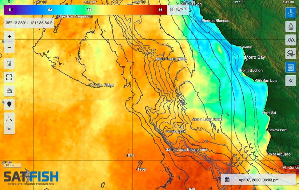
SatFish’s Central California offshore fishing map helps central coast anglers find the offshore sea surface temperature (SST) and water color (chlorophyll) breaks that hold albacore during summer and fall. These same breaks also point the way to bluefin tuna as they work north from SoCal through the Avila and Morro Bay offshore grounds up to Monterey Bay and Davenport. Even when it’s cloudy, our cloud-free SST and 1- and 3-day composites will still point you to the right general area to look for life and gamefish. Plus, our 5-day wind forecast helps you pick out the right window to make your run offshore.
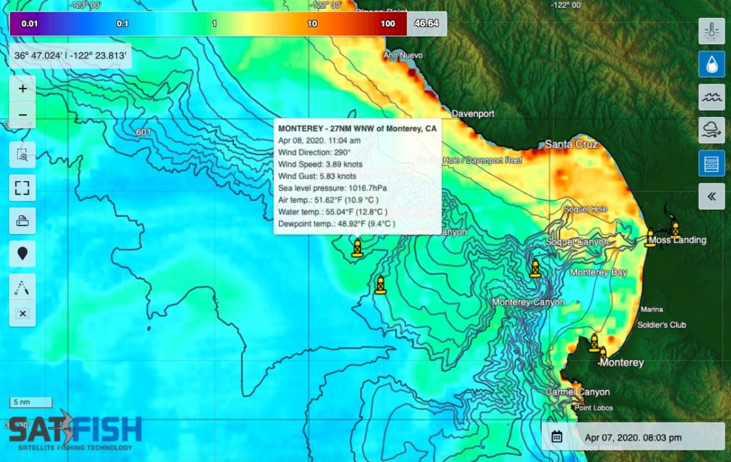
Our detailed bathymetry maps also give you a great layout of the bottom structure so you can find new grounds for rockfish and lingcod. They also show Monterey Canyon in high-def detail so you can work right along the canyon edges that hold bait and salmon in the spring and early summer.
Our Central California fishing chart covers the entire California central coast from the Bay Area down to Point Conception, providing full coverage of the inshore and offshore fishing grounds accessible from Half Moon Bay, Santa Cruz, Monterey, Morro Bay, and Port San Luis / Avila Beach.
Frequently Asked Questions
What is the Central California offshore fishing map used for?
This map helps you find SST (sea surface temperature) breaks and chlorophyll edges that often hold offshore fish. It’s designed to help central coast anglers start in productive water instead of searching blindly.
How can these maps help me target albacore and bluefin tuna?
In summer and fall, albacore often stack along temperature and color breaks offshore, and bluefin can follow similar edges as they move north. SatFish layers help you track where those breaks set up from the central coast grounds up toward Monterey Bay and beyond.
What if it’s cloudy? Will the map still be useful?
Yes, cloud-free SST and the 1-day / 3-day composites improve coverage when regular SST shots are limited by clouds. Even if details look smoother, these layers can still point you to the right general area to hunt.
How do bathymetry maps help with Central Coast fishing?
High-resolution bathymetry shows bottom structure so you can identify new rockfish and lingcod grounds. It also helps you work key features like canyon edges where bait and predators commonly concentrate.
Why is Monterey Canyon important on these charts?
Monterey Canyon creates steep structure and current interaction that can hold bait and salmon in spring and early summer. Seeing the canyon in detail helps you fish the edges and depth transitions more precisely.
What areas does the Central California chart cover?
Coverage runs from the San Francisco Bay Area down to Point Conception. It includes inshore and offshore grounds reachable from Half Moon Bay, Santa Cruz, Monterey, Morro Bay, and Port San Luis / Avila Beach