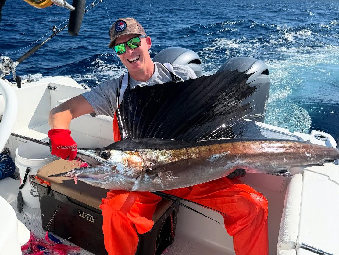
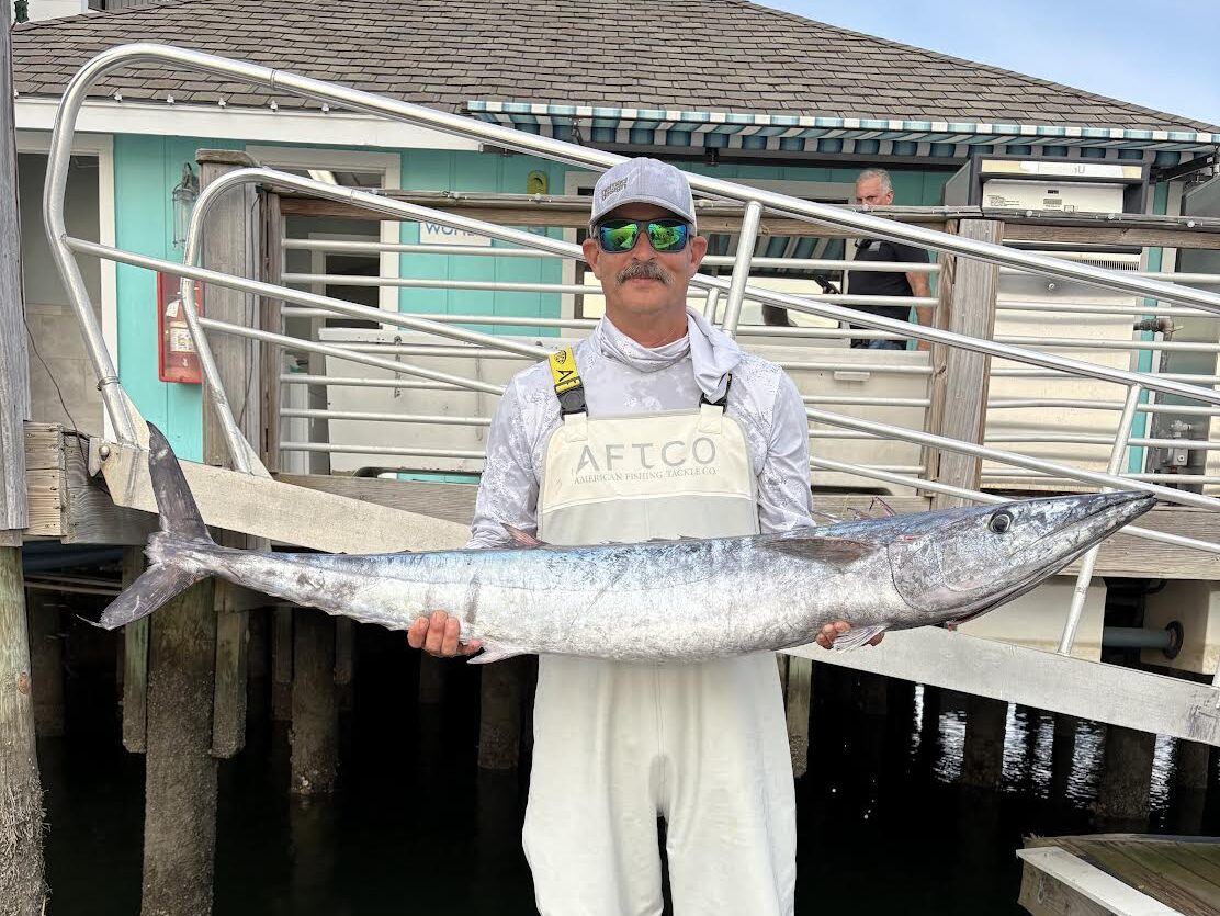
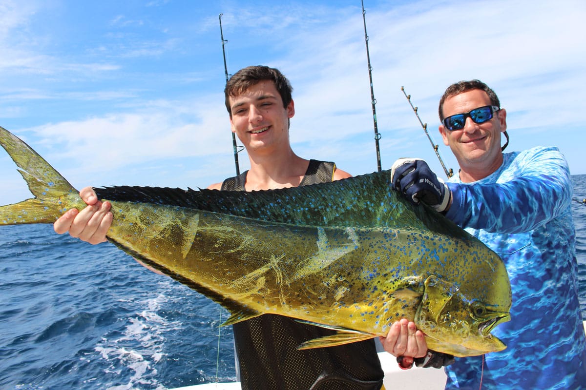
SatFish’s North Carolina and Outer Banks fishing map gives offshore anglers a detailed view of one of the most productive bluewater fisheries on the East Coast. From Oregon Inlet and Hatteras to Morehead City, Cape Lookout, and Wilmington, North Carolina anglers have access to the Gulf Stream, continental shelf, deepwater canyons, and productive offshore structure. Use SatFish sea surface temperature (SST), chlorophyll, and current charts to track Gulf Stream edges, temperature breaks, warm-water eddies, and water-color changes that can concentrate bait and attract yellowfin tuna, bluefin tuna, bigeye tuna, wahoo, mahi, marlin, and other offshore gamefish.
The Gulf Stream is a major driver of North Carolina and Outer Banks offshore fishing, and knowing where productive water is setting up can save valuable time and fuel. SatFish makes it easy to compare SST breaks with chlorophyll edges and currents to find areas where different water masses collide or converge. When clouds block a clear satellite pass, Cloud-Free SST and 1-day and 3-day SST composites help you keep track of the larger offshore pattern. Whether you’re planning a tuna trip from the Outer Banks, looking for a productive wahoo edge, or searching for blue water and temperature breaks that could hold mahi and billfish, SatFish helps narrow down the best areas to start looking.
SatFish’s detailed North Carolina bathymetry maps add another important piece by showing the continental shelf, shelf break, canyons, ledges, drop-offs, and other underwater structure from nearshore waters into the deep Atlantic. Compare bottom contours with SST, chlorophyll, and currents to find places where favorable water intersects structure, or use the detailed depth data to explore bottom-fishing grounds for grouper, snapper, black sea bass, triggerfish, and other species. With offshore satellite imagery, high-resolution bathymetry, current data, and a 5-day wind forecast, the SatFish North Carolina / Outer Banks fishing chart helps you build a smarter game plan before leaving the dock.
Frequently Asked Questions
What do the North Carolina Outer Banks offshore maps help me find?
These maps help you locate where the Gulf Stream interacts with cooler shelf water off the Outer Banks, creating sharp offshore transition lines. Those boundaries are key for finding bait and positioning your day’s search.
What’s the fastest way to pick a starting zone off the Outer Banks?
Scan for the strongest “wall” where warm stream water pinches close to the break, then mark a few waypoints along the tightest bend or pinch point. Starting on a bend gives you multiple options: run one direction if it’s lifeless, or pivot quickly to the other side.
How do I use the second map with swirls/loops on it?
That pattern often indicates rotating water features (eddies) and current shear, which can trap bait on the edge. Work the outside seam first, then make short moves until you find the side with the cleanest temp change and best life.
What should I look for when the water is “pretty” but not biting?
If the whole zone is one uniform color, you may be in stable water with fewer feeding triggers. Slide to a tighter contrast area, where the edge compresses, kinks, or forms a narrow corridor, because predators often use those lanes to ambush bait.
How can chlorophyll help on Outer Banks bluewater days?
Chlorophyll helps you separate green, nutrient-loaded water from cleaner blue water offshore. A narrow clean/green seam near the stream edge can be a “highway” for bait and pelagics when it lines up with temperature change.
What’s a smart safety check for Outer Banks runs before you commit offshore?
Don’t rely on one data source; compare the 5-day wind outlook with buoy readings and your run distance to avoid getting boxed in. If the forecast shows a wind swing, plan your route so you’re not forced to run home into building seas.