There’s a certain kind of quiet that settles in when you open your satellite layers and see nothing but cloud cover stretched across the Gulf Stream.
No clean chlorophyll break.
No glowing temperature edge.
Just white.
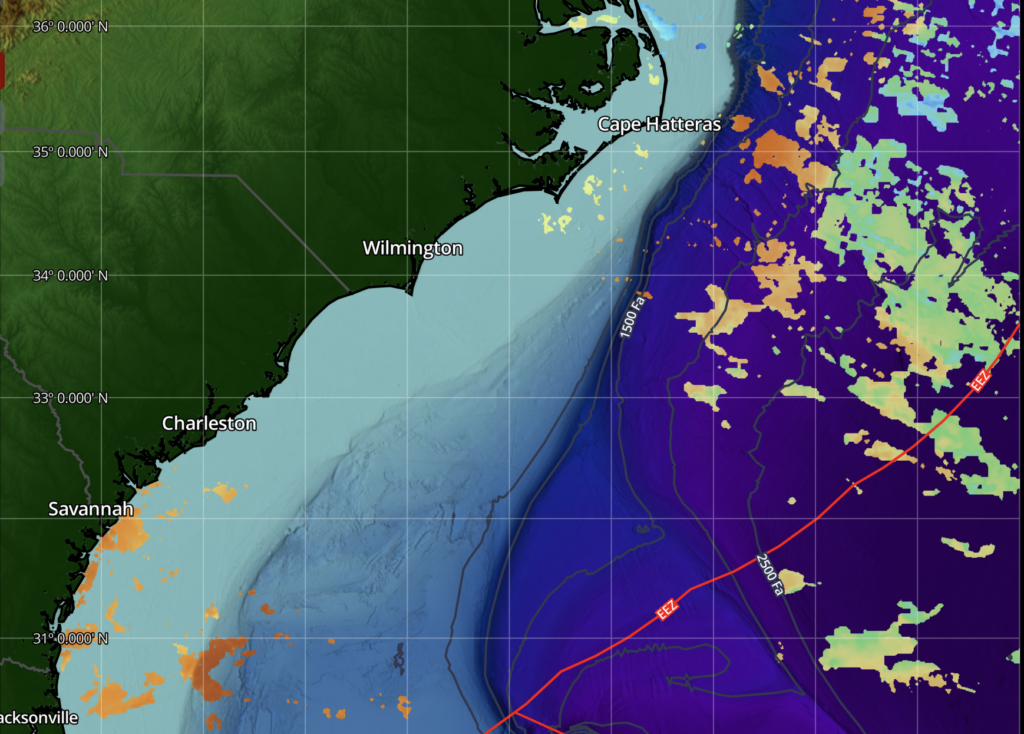
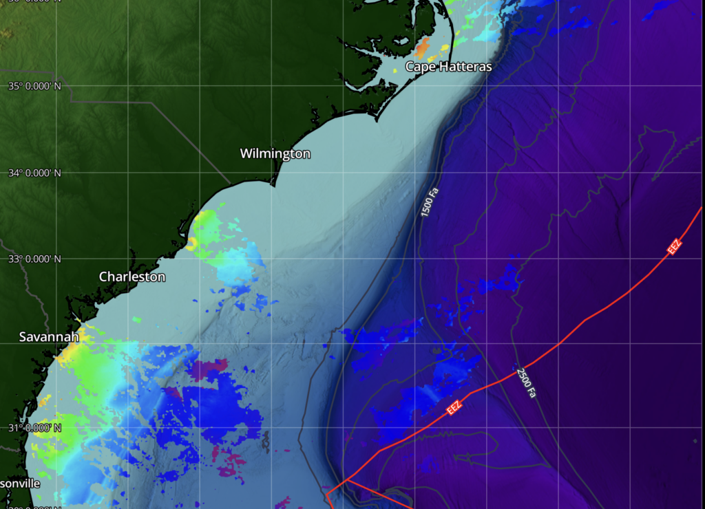
For many anglers, that’s where confidence drops. But here’s the reality: cloud cover doesn’t shut the ocean down. It only hides part of the picture. When imagery is compromised, the answer isn’t to guess. It’s to shift how we interpret what we’re seeing.
This is where Cloudy Day Protocol comes in — and where kinetic boundaries take center stage.
From Visible Edges to Energy Edges
On clear days, chlorophyll breaks and sharp SST gradients offer obvious structure in the water column. We can visually identify where two water masses meet. But when cloud cover obscures chlorophyll, those visible boundaries may fade. What does not fade is the physics underneath.
The Gulf Stream is not a static ribbon of water. It is a constantly accelerating, bending, compressing, and rotating system. Even when color is hidden, movement is still happening. Velocity is still changing. Energy is still being redistributed. Predators key off those changes in movement — not just changes in color. That’s the foundation of fishing kinetic boundaries.
A kinetic boundary is simply a transition in energy: where speed shifts, direction bends, or flow interacts with structure in a way that forces instability. These are not always visible as dramatic color breaks. Often, they reveal themselves only through movement layers.

And that’s where altimetry becomes critical.
Altimetry: Reading the Ocean’s Pressure Map
In our previous discussion, we talked about altimetry as a measure of sea surface height anomalies — positive and negative features that correspond to differences in water mass structure. On cloudy days, altimetry becomes even more important. Why?
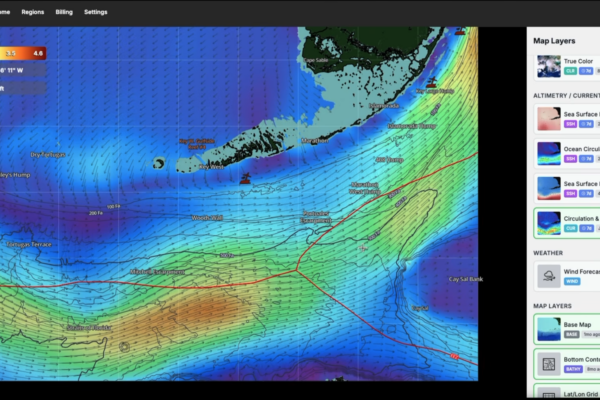
Because while chlorophyll tells you about productivity and temperature gives you a thermal boundary, altimetry tells you about pressure and stored energy. A positive sea surface height anomaly indicates a mound of warm water — typically associated with downwelling and clockwise rotation in the Northern Hemisphere. A negative anomaly represents a depression — often linked to upwelling and counterclockwise rotation.

But beyond identifying eddies, the key on cloudy days is not just locating the center of a feature. It’s studying the gradient. Where the sea surface height transitions rapidly — where color bands tighten on the altimetry layer — that’s where energy is changing most quickly. Those gradient zones represent pressure boundaries.
Pressure boundaries translate to:
· Current acceleration.
· Directional shear.
· Vertical displacement.
· Subsurface instability.

When that energy intersects structure — like the 100/400 break, the terrace edges, or a canyon wall — it cannot flow cleanly. It compresses. It bends. It wraps. And that compression creates kinetic boundaries. In other words, altimetry shows us where the ocean is working hardest. On a cloudy day, that’s where I want to be looking.
Structure + Energy = Opportunity
Structure alone is not enough. Current alone is not enough. But when a meaningful altimetry gradient aligns with structure and directional shear in the current layer, something powerful happens. The water is forced to behave differently. As strong flow crosses a depth transition, it accelerates over the high side and rolls off the down-current edge. Micro-eddies spin up. Shear lines form. Subsurface turbulence increases.

These are not always visible in chlorophyll, especially under cloud cover. But they often reveal themselves at the surface as:
· Narrow slick seams.
· “Rivers” of smoother water.
· Circular flat patches within textured areas.
· Subtle but consistent changes in surface tension.
Those features are the fingerprints of kinetic boundaries. And predators understand them instinctively.
Crossing Kinetic Boundaries
On cloudy days, instead of planning a route strictly around color breaks, I plan around movement transitions. Where do current arrows change direction? Where does faster water press against slower water? Where does an altimetry gradient tighten over structure? Those are the lines worth intersecting.


Whether trolling at slow speeds or covering ground faster, the goal is not to sit in uniform water. It’s to move across velocity change. Cross it at angles. Work both sides. Stay aware of where the surface texture shifts. Fish respond to change. And change happens at boundaries.
When the Satellites Go Quiet
Cloud cover does not eliminate opportunity. It simply removes one layer of visibility. SatFish gives us more than chlorophyll. It gives us movement, gradient, and structure. On bright imagery days, color helps tell the story. On cloudy days, energy tells the story. And the Gulf Stream is always writing one.

The anglers who adapt are the ones who stop chasing only what they can see — and start interpreting how the water is behaving. Even when the imagery is compromised, the ocean’s mechanics remain intact. The edge is still there. You just have to read it differently.