After years of fishing the waters around Baja California Sur, one lesson has become clear: the best fishing rarely comes from finding one perfect temperature. It’s about identifying a zone of water where temperature, color, current, bait, and underwater structure come together.
Here are the key things they study when looking for the right zone to fish.
Sea Surface Temperature
The high-definition SST layer is the best place to start, looking for temperature breaks rather than simply choosing the warmest water. A change of even one or two degrees over a relatively short distance can create an edge that concentrates plankton, baitfish, birds, porpoises, and ultimately, larger predators.
The SatFish History Playback tool allows previous days’ imagery to be reviewed and animated to see how quickly the breaks are moving. Understanding the direction of the moving water helps predict where the productive edge may be by the following morning.
When cloud cover makes the most recent image difficult to read, the Cloud-Free SST and Three-Day Composite layers help reveal the larger pattern.
The species being targeted often depends on the season and the type of water moving through Cabo:
- Striped marlin are often associated with slightly cooler, clean water holding concentrations of mackerel, sardines, or other bait.
- Blue and black marlin generally become more likely when warmer blue water arrives, especially when that water also holds tuna and dorado.
- Yellowfin tuna can tolerate a broad temperature range, so the focus should be on defined temperature edges, moving current, bait, porpoises, and nearby structure rather than a single exact temperature.
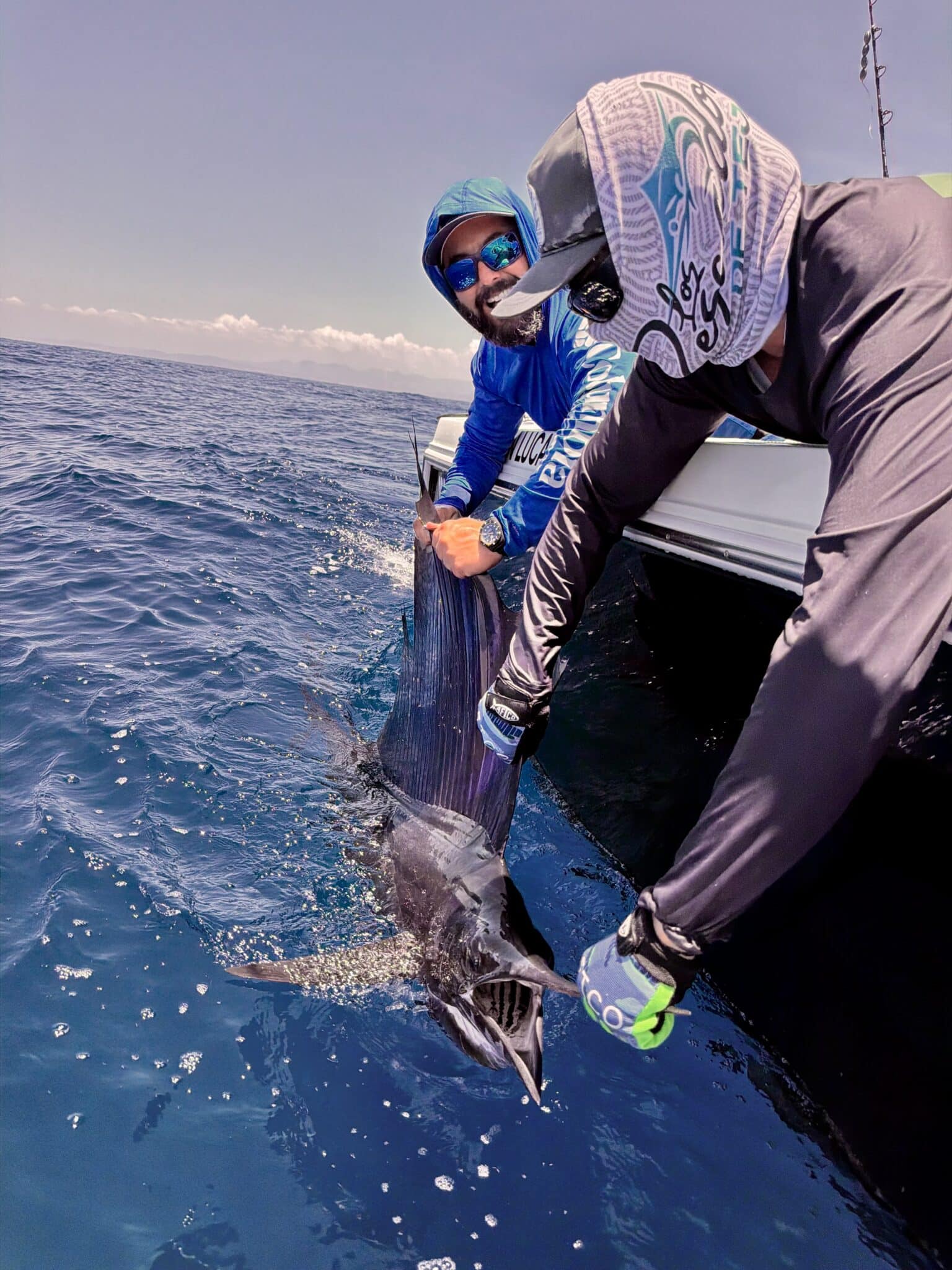
- Dorado and sailfish are usually associated with warm, clean water, current lines, floating debris, and concentrations of bait.
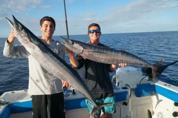
- Wahoo frequently appear around stronger temperature or current breaks that intersect banks, high spots, or other structure.
Chlorophyll and Water Color
The chlorophyll maps help distinguish clean blue offshore water from greener, more productive coastal water. The goal is not always to find the lowest chlorophyll value. Extremely clean water can be beautiful but relatively empty.
Instead, focus on the boundary where cleaner blue water meets greener, nutrient-rich water. The greener water supports plankton and bait, while pelagic predators often patrol the cleaner side of that edge. When a chlorophyll break aligns with a temperature break, it becomes a much stronger area to investigate.
The True Color layer is also useful for confirming visible differences between water masses and identifying offshore current lines. Once on the water, the satellite imagery should be matched with real-world signs such as birds, flying fish, porpoises, bait on the sonar, floating grass, logs, turtles, and changes in water color.
Surface Currents and Sea Surface Height
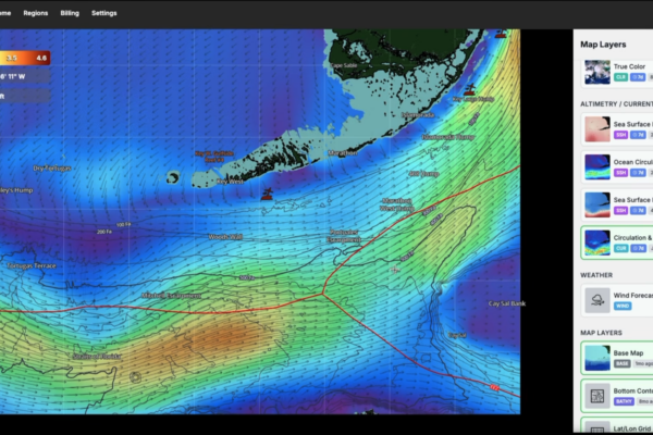
The Surface Current and Sea Surface Height layers help identify eddies, convergence zones, and areas where different bodies of water are meeting. These areas naturally collect bait and floating material.
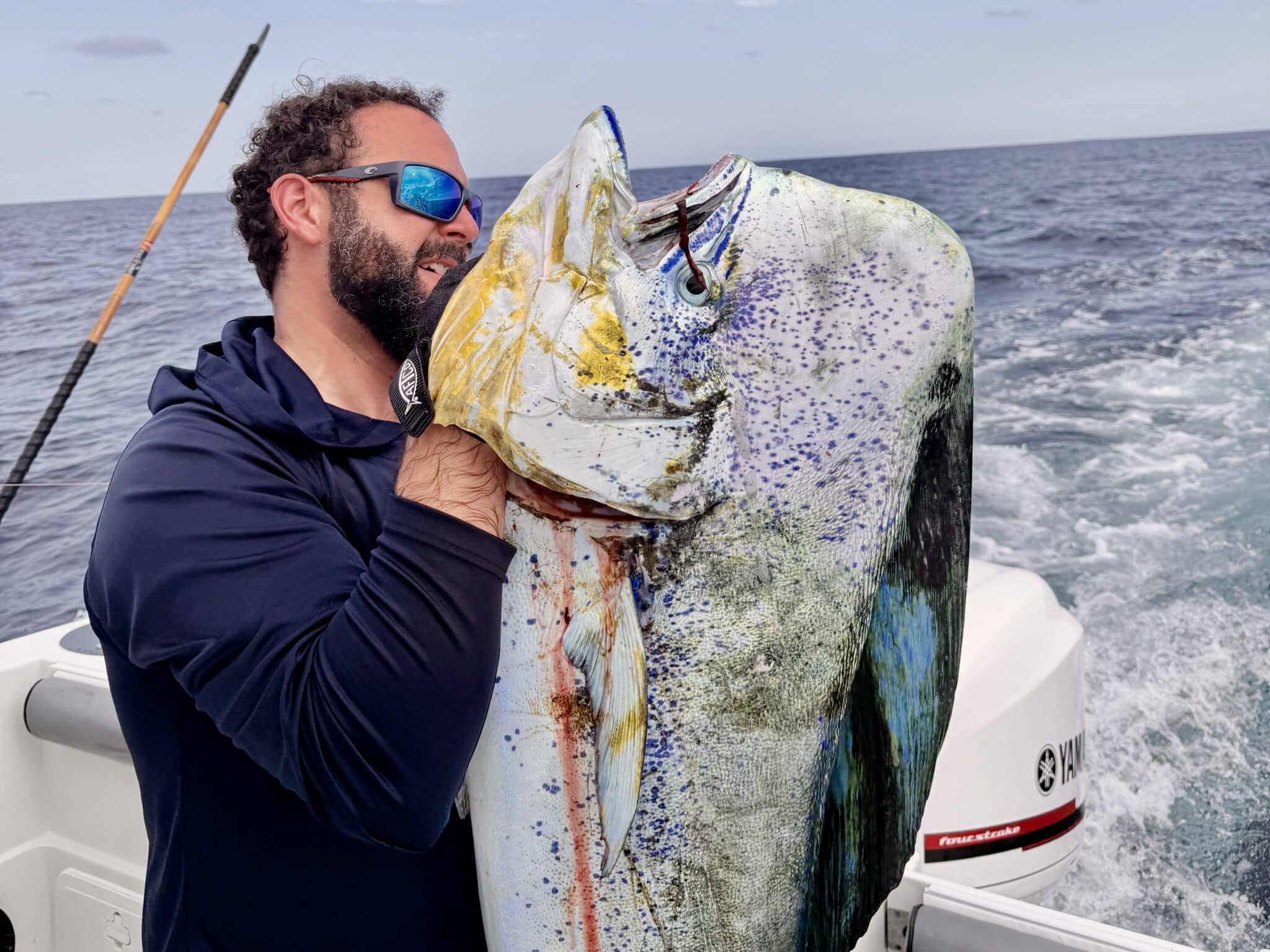
For dorado, convergence zones often gather floating grass, small baitfish, and debris. For tuna and marlin, productive areas are commonly found where current pushes clean water against an underwater bank or wraps around a high spot.
Rather than looking at current or temperature independently, the best fishing areas usually develop where multiple variables overlap.
Bathymetry and Fishing Structure
The next step is comparing the temperature, chlorophyll, and current information with the bathymetry.
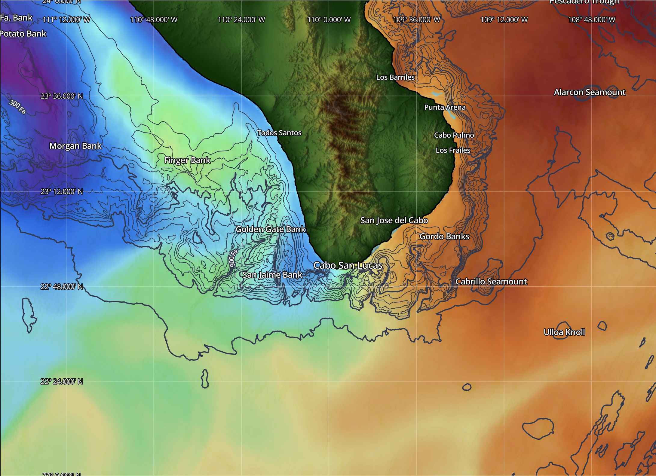
Around Cabo, productive areas include the 1150 Bank, Gordo Banks, Golden Gate Bank, Finger Bank, and the Lower Banks. These areas consistently hold fish because they interrupt current flow and create feeding opportunities.
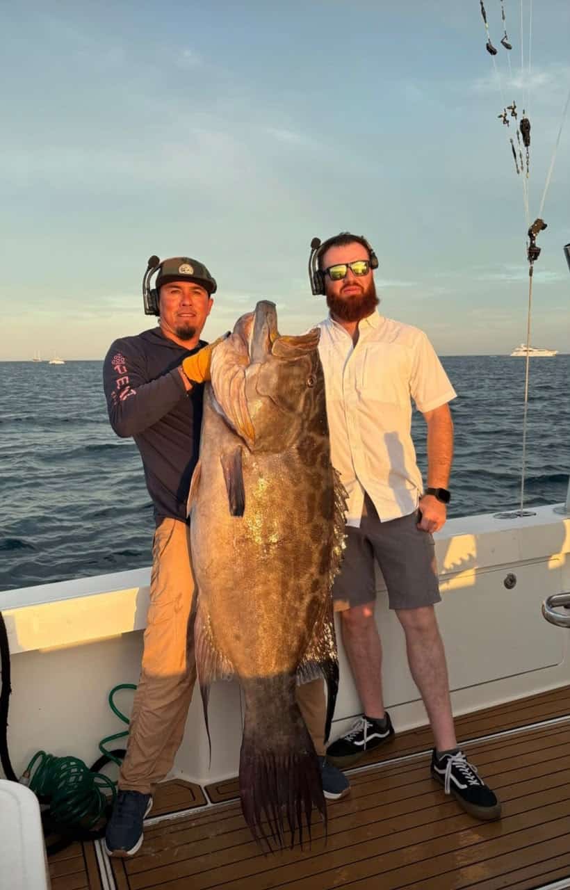
A temperature or water-color break becomes significantly more attractive when it crosses a bank, canyon, ledge, or steep drop-off. This is where current and structure work together to concentrate bait, creating ideal feeding zones for pelagic species.
Wind and Trip Planning
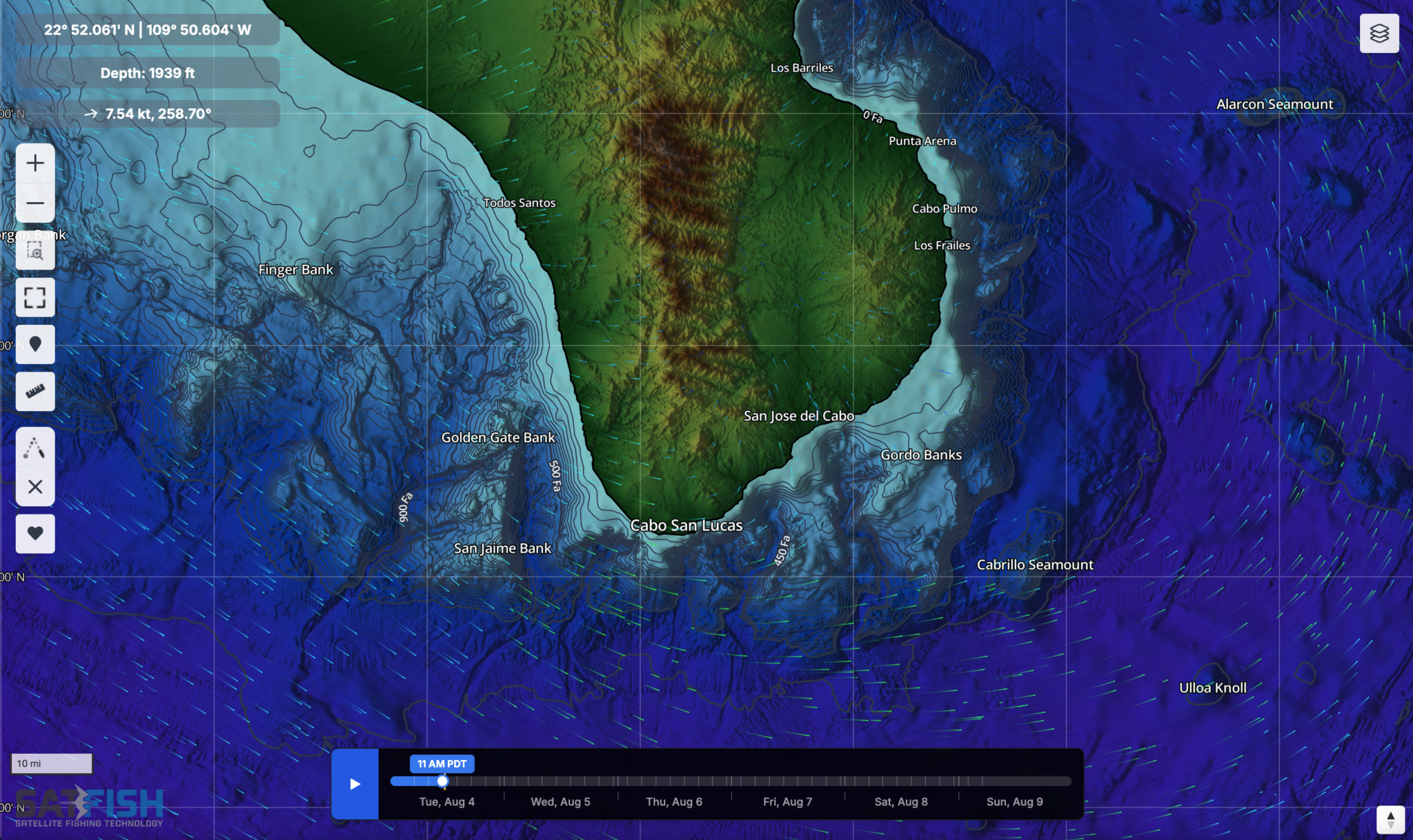
Wind forecasts are another important part of planning a successful trip. The most promising water is not always the best destination if sea conditions make it uncomfortable or unsafe to reach.
SatFish’s route-planning tools help estimate travel distance and fuel requirements before leaving the marina, making it easier to choose the most efficient game plan.
Once offshore, the mobile app allows anglers to follow their planned route, monitor their position in relation to productive water, and continue referencing satellite layers throughout the day as conditions change.
Putting It All Together
No matter the region, no single satellite layer consistently finds fish on its own.
The most productive offshore zones develop when temperature breaks, chlorophyll edges, favorable currents, bait, and underwater structure all overlap. The more of these factors that come together in one area, the greater the odds of finding life.
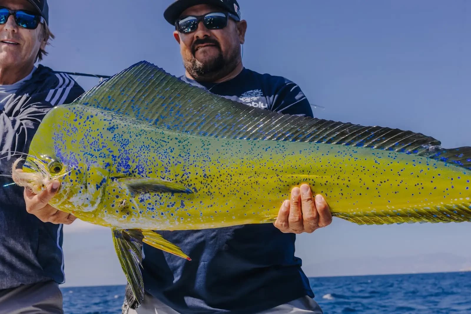
Satellite data narrows the search dramatically, but success still comes from reading the conditions on the water. Birds, bait, porpoises, sonar marks, current lines, floating debris, and changes in water color/temperature all help confirm what the maps suggest.
SatFish isn’t designed to point to one magical fishing spot. It’s designed to eliminate unproductive water, allowing anglers to spend more time fishing in the areas where conditions are most likely to produce marlin, tuna, dorado, and wahoo.
“SatFish does not show me one magical fishing spot. It helps me eliminate unproductive water and identify the places where temperature, water color, current, bait, and underwater structure are most likely to come together. Once we arrive, our experience and the signs we see on the water complete the picture.”
– Arturo Chacón