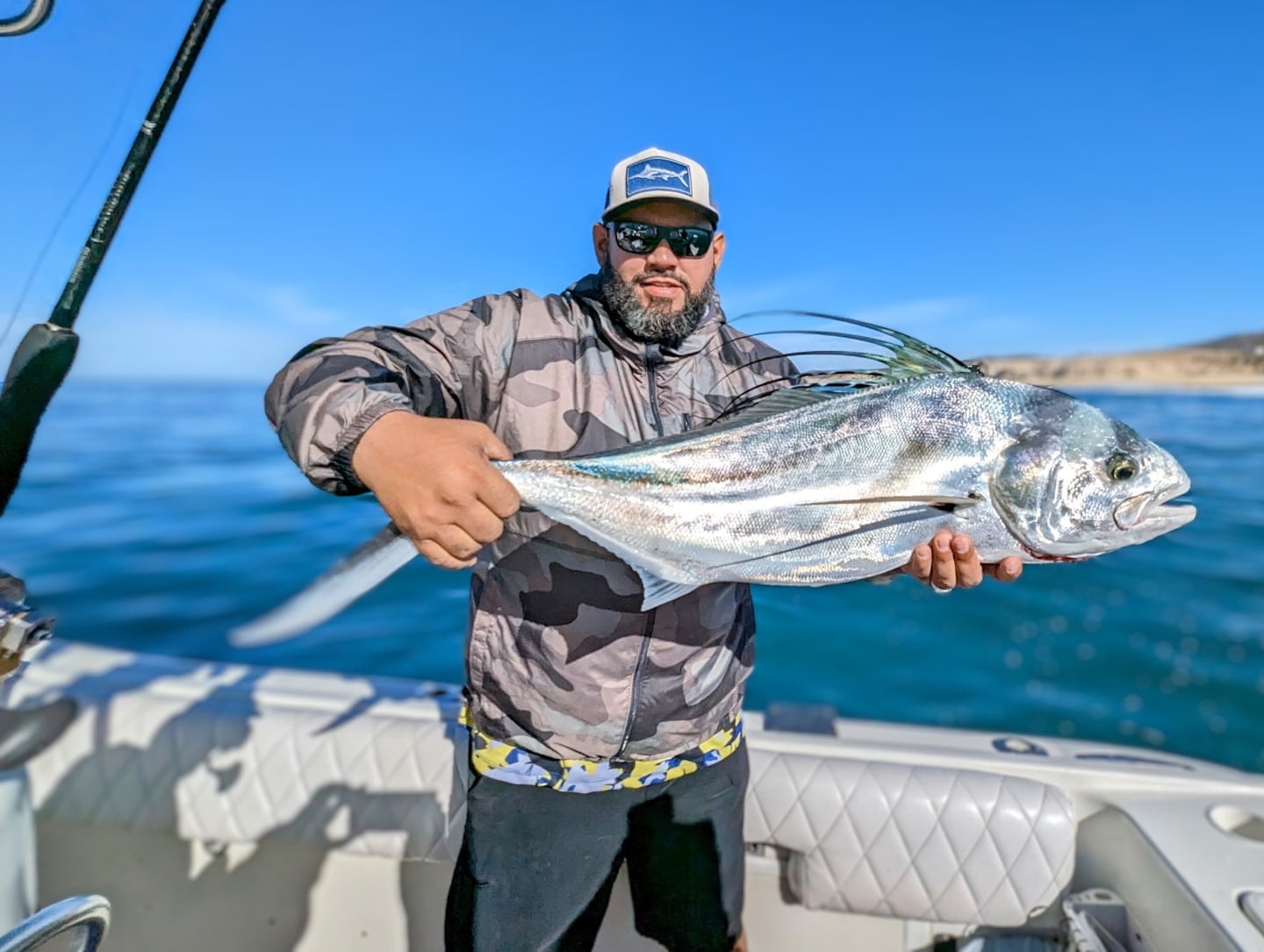
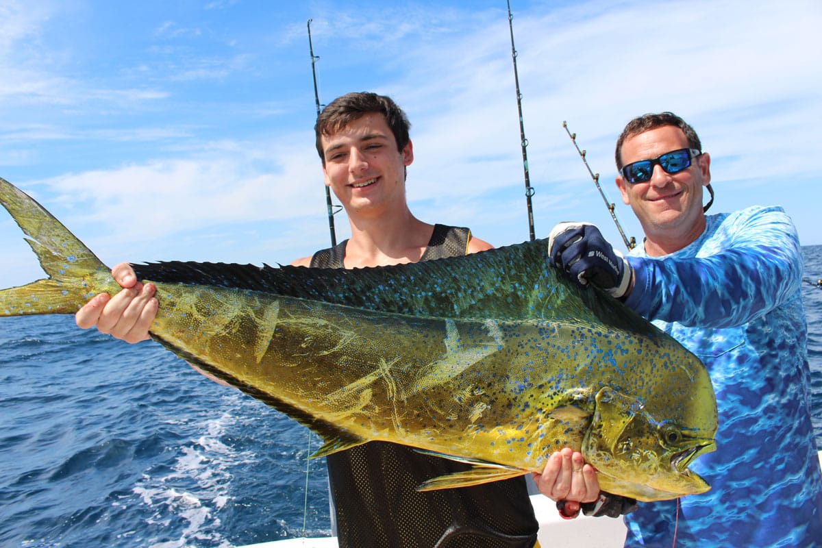
SatFish Mexico Fishing Maps help offshore anglers spend less time searching and more time catching, using advanced satellite data and trip-planning tools. Whether you’re targeting marlin or tuna, SatFish is built to guide you to productive water.
Why Choose SatFish for Your Mexico Fishing Adventure?
SatFish offers more than just maps; we provide a comprehensive solution to offshore fishing.
Here’s what sets us apart:
- Advanced Data Integration: Combine sea surface temperature (SST) imagery, chlorophyll concentration maps, detailed bathymetry, and buoy data for a holistic view of fishing conditions.
- User-Friendly Interface: Our platform is designed with fishermen in mind, making it easy to access and interpret crucial fishing data.
- Cloud-Free SST Composites: Monitor water conditions without weather interruptions, ensuring accurate and reliable information.
- Mobile Accessibility: Download maps before your trip and access them offline on the SatFish mobile app, keeping you on course even without a signal.
- Proven Results: Anglers using SatFish consistently report increased catches, thanks to our precise mapping and data analytics.
We Have Fishing Maps For These Regions
Baja California
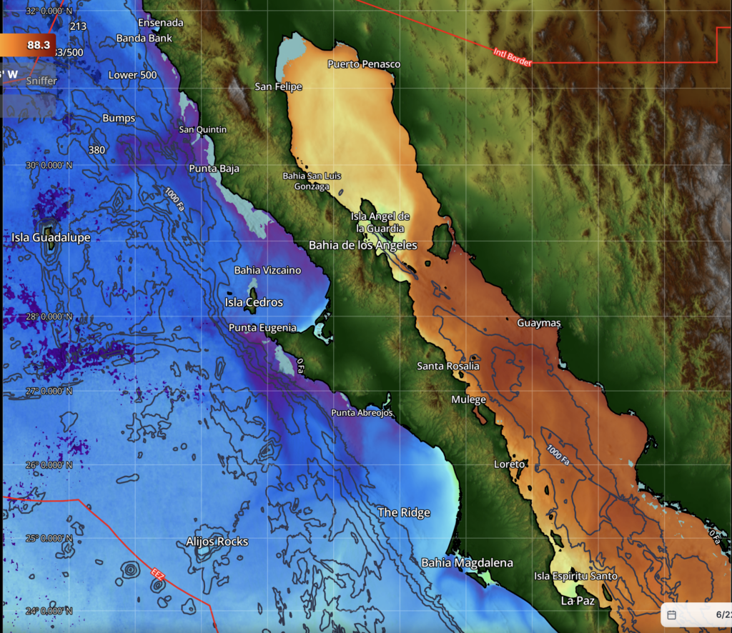
Baja California is a rugged Pacific-to-Gulf peninsula famed for its nutrient-rich waters, dramatic coastlines, and world-class sportfishing for tuna, dorado, marlin, and yellowtail.
Click here to read more about SatFish’s Baja California Offshore Fishing Maps
Puerto Vallarta / Mazatlan

Puerto Vallarta and Mazatlan are vibrant Pacific fishing hubs where deep blue waters, offshore seamounts, and year-round warm currents attract marlin, sailfish, tuna, and dorado just minutes from shore.
Click here to learn more about SatFish’s Puerto Vallarta and Mazatlan Offshore Fishing Maps
Manzanillo
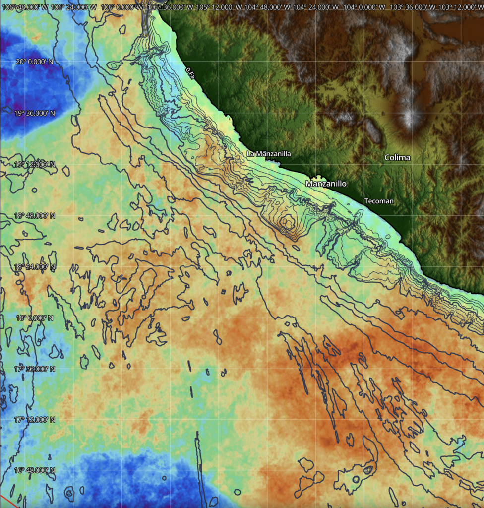
Manzanillo’s offshore banks and bait-rich waters consistently hold marlin, sailfish, yellowfin tuna, and dorado off Mexico’s Pacific coast.
Click here to learn more about SatFish’s Manzanillo Offshore Fishing Maps
Acapulco
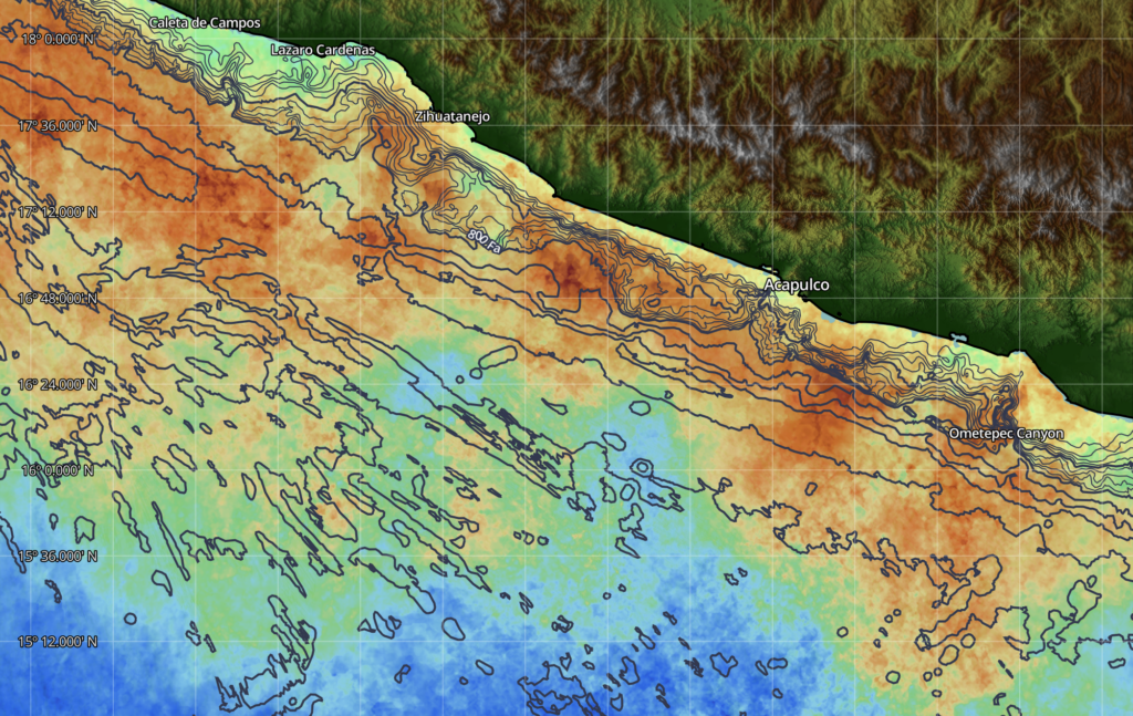
Acapulco is a legendary Pacific sportfishing destination where deep offshore waters, underwater drop-offs, and warm tropical currents create prime habitat for blue marlin, sailfish, yellowfin tuna, dorado, and wahoo, just a short run from the marina.
Click here to learn more about SatFish’s Acapulco Offshore Fishing Maps
Puerto Escondido / Salina Cruz
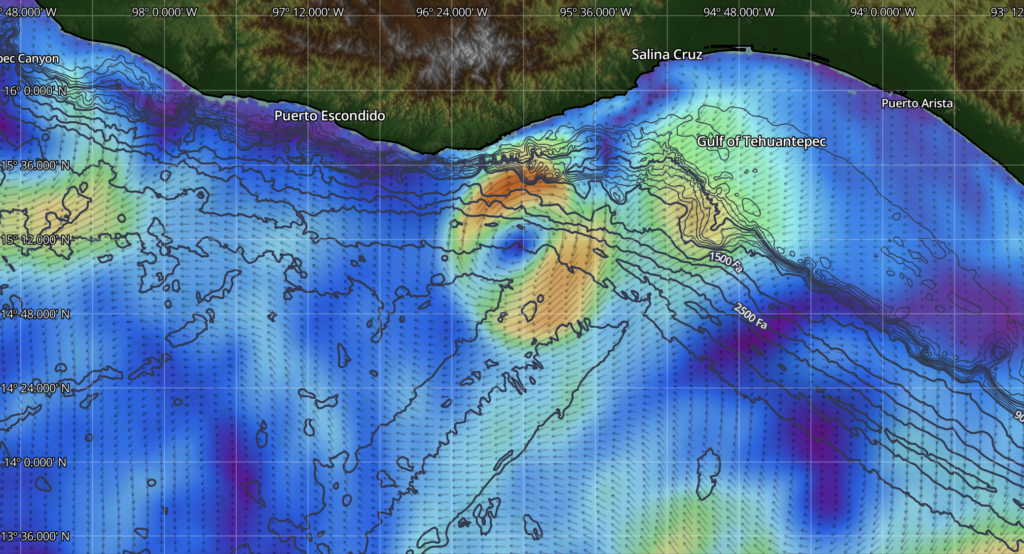
Puerto Escondido and Salina Cruz are two of Mexico’s most productive Pacific fishing destinations, where deep offshore waters, nutrient-rich currents, and abundant baitfish support world-class fisheries for blue and black marlin, sailfish, yellowfin tuna, dorado, wahoo, and roosterfish throughout the year.
Click here to learn more about SatFish’s Puerto Escondido / Salina Cruz Offshore Fishing Maps
Gulf of Mexico / Yucatan

The Gulf of Mexico is a vast and highly productive fishery where offshore oil platforms, deepwater canyons, reefs, and nutrient-rich currents create exceptional habitat for blue marlin, white marlin, sailfish, yellowfin tuna, mahi-mahi, wahoo, and prized bottom species across the region.
Click here to learn more about SatFish’s Gulf of Mexico Offshore Fishing Maps
How SatFish Mapping Works
Getting started with SatFish is as easy as drop, reel, and fish:
- Sign Up and Select Region: Choose Mexico’s rich fishing waters from our extensive regional options.
- Customize Your Map: Tailor the map according to your target species and preferred fishing grounds using our intuitive interface.
- Hit the Water: Use dynamic data to head straight to productive spots, saving time and fuel.
- Stay Updated: Regular updates allow you to adapt to changing conditions and maintain a fishing edge.
- Review Past Trips: Historical animation helps track changes over time, allowing predictions on fish movements.
Frequently Asked Questions
What species can I target using SatFish?
SatFish maps are ideal for locating a variety of species, including tuna, marlin, mahi-mahi, and wahoo, by highlighting ideal water conditions.
How does SatFish help save on fuel?
By pinpointing productive fishing spots, SatFish reduces the need to roam large ocean areas, helping you conserve fuel and time.
Is an internet connection required offshore?
No, you can download maps to the SatFish mobile app before setting sail and access everything offline.
Can I use SatFish if I’m not tech-savvy?
Absolutely. Our platform is designed to be intuitive, with easy-to-understand data and tools even for those with minimal tech experience.
How often is the fishing data updated?
We update our satellite data multiple times a day, ensuring real-time information to enhance your fishing strategy.
Is SatFish available in other regions besides Mexico?
Yes, SatFish covers various regions, including Baja California fishing maps, Puerto Vallarta, and the Gulf of Mexico.
Ready to Reel in More Success?
Don’t leave your fishing success to chance. Elevate your offshore fishing with the precision and power of SatFish Mexico Fishing Maps. To get started, sign up on our website or contact us for more information. Let SatFish be the compass that guides you to your next big catch.