

In this video, D&D Fishing breaks down how they used satellite water temp/current data to find the tuna, goes through exactly what gear they brought and why, shows the actual footage from the fight, and wraps up with their honest take on what worked, what they’d change, and whether they’d run the light setup again.
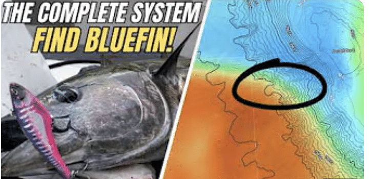
Want to know how to use the SatFish app to locate bluefin tuna and albacore offshore in Northern California? In this video, we cover most of the SatFish layers, including SST, Chlorophyll, True Color, SSH, and Currents. Later in the video, we do a real-time breakdown of current Northern California maps and show you exactly… READ MORE
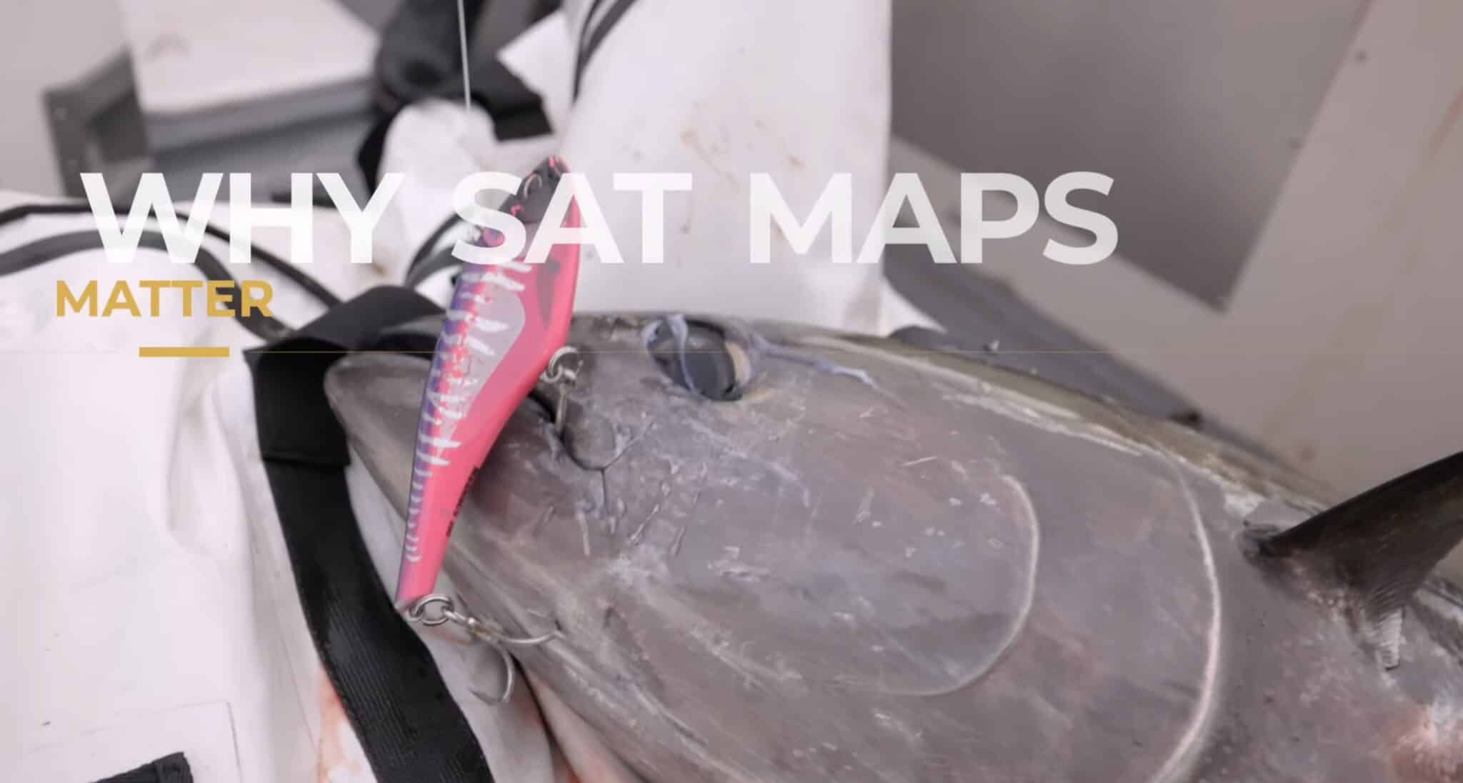
Ever wonder how offshore anglers consistently find tuna before leaving the dock? In this video, we break down exactly how we use temperature maps and chlorophyll maps to locate bluefin and albacore tuna. We go over why these breaks are the key to finding bait and life offshore. We’ll walk through real world examples from… READ MORE