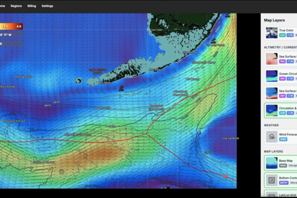
Want to know how to use the SatFish app to locate bluefin tuna and albacore offshore in Northern California?
In this video, we cover most of the SatFish layers, including SST, Chlorophyll, True Color, SSH, and Currents. Later in the video, we do a real-time breakdown of current Northern California maps and show you exactly where we’d be targeting fish right now, including a second region breakdown and a live proof of concept from a recent Hawaii trip where we used SatFish to put us on tuna. The logic and planning used in this video can be applied all over the world when targeting pelagic fish.