
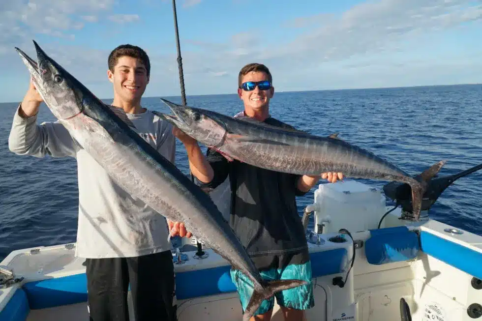
This is a wahoo fishing game plan for the Thunderbolt wreck off Marathon. It’s built from the new SatFish HD bathymetry chart (a high-definition map of the ocean floor) below and the daily tide data from the closest NOAA station. The Thunderbolt sits on the 20-fathom (120 ft) line — that’s the exact edge where the reef drops off… READ MORE
Gulf Stream
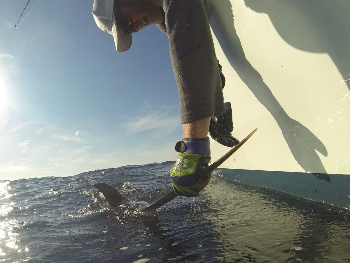
Want to find and catch more Mahi? Captain Matt with Marathon Sportfishing breaks down how he locates and catches mahi, including what he looks for when deciding where to spend his time on the water. Finding productive water before you leave the dock can make a big difference when targeting mahi. Using SatFish, Captain Matt… READ MORE
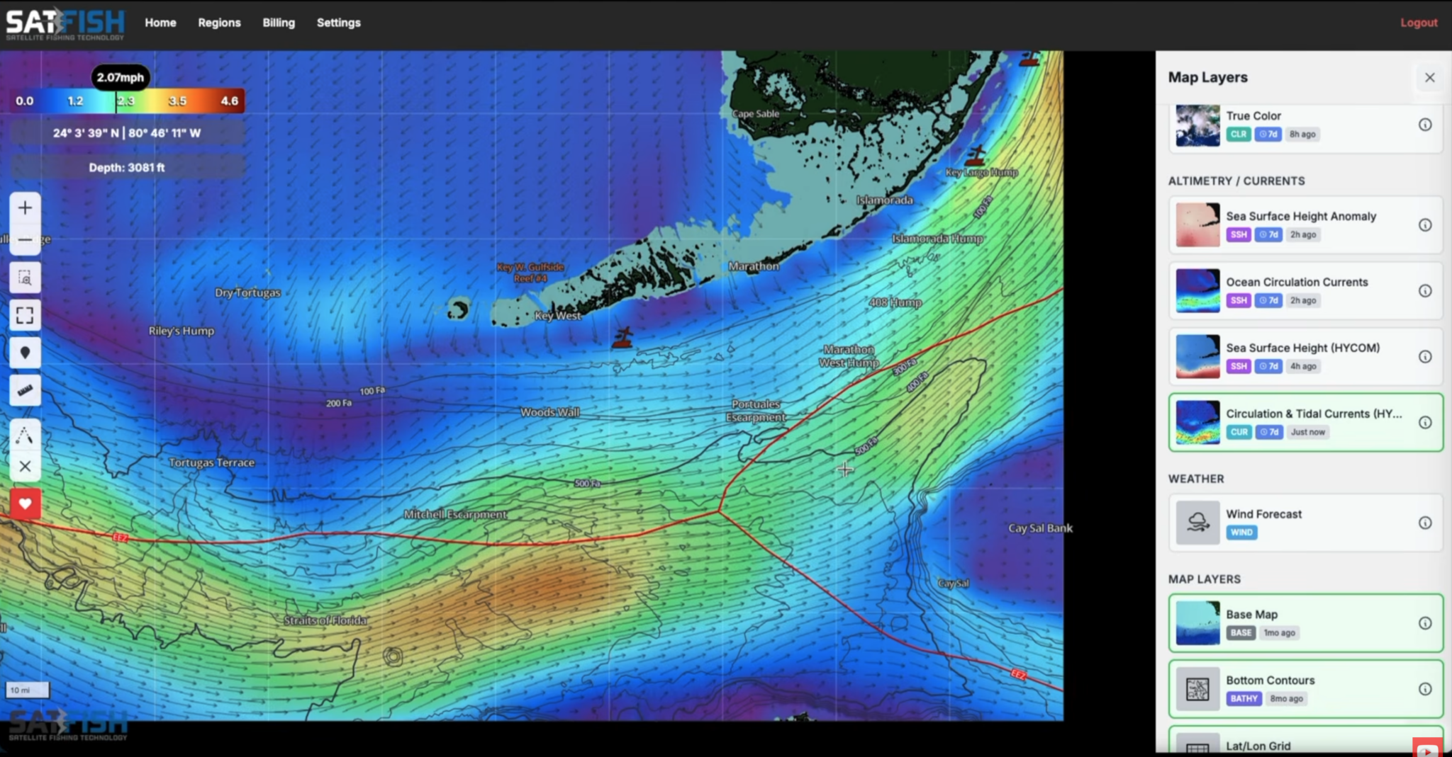
Sea surface height—altimetry in scientific parlance—tells you a lot about the oceanic environment and where you might catch more fish. As you peruse SatFish and check out all the angling-centric intel available to you in addition to the SST data we all know and love, you’ll undoubtedly come across altimetry. This is sea surface height,… READ MORE

There’s a certain kind of quiet that settles in when you open your satellite layers and see nothing but cloud cover stretched across the Gulf Stream. No clean chlorophyll break. No glowing temperature edge. Just white. For many anglers, that’s where confidence drops. But here’s the reality: cloud cover doesn’t shut the ocean down. It… READ MORE

At the end of this video, Captain Matt breaks down how he uses SatFish to target Swordfish and Mahi Mahi. He dives into what layers he uses, what he looks for in these layers, and where he would go if he was planning a fishing trip the next day. Captain Matt uses both the SST… READ MORE
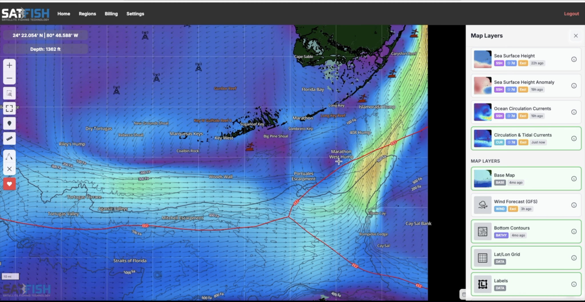
In this video, Captain Matt with Marathon Sportfishing breaks down exactly how he chooses where to fish the patch reefs using SatFish. He’ll show you what he looks for, how he decides whether to fish inside or outside of Hawk Channel, and why current movement makes all the difference. The patch reefs here stretch roughly… READ MORE