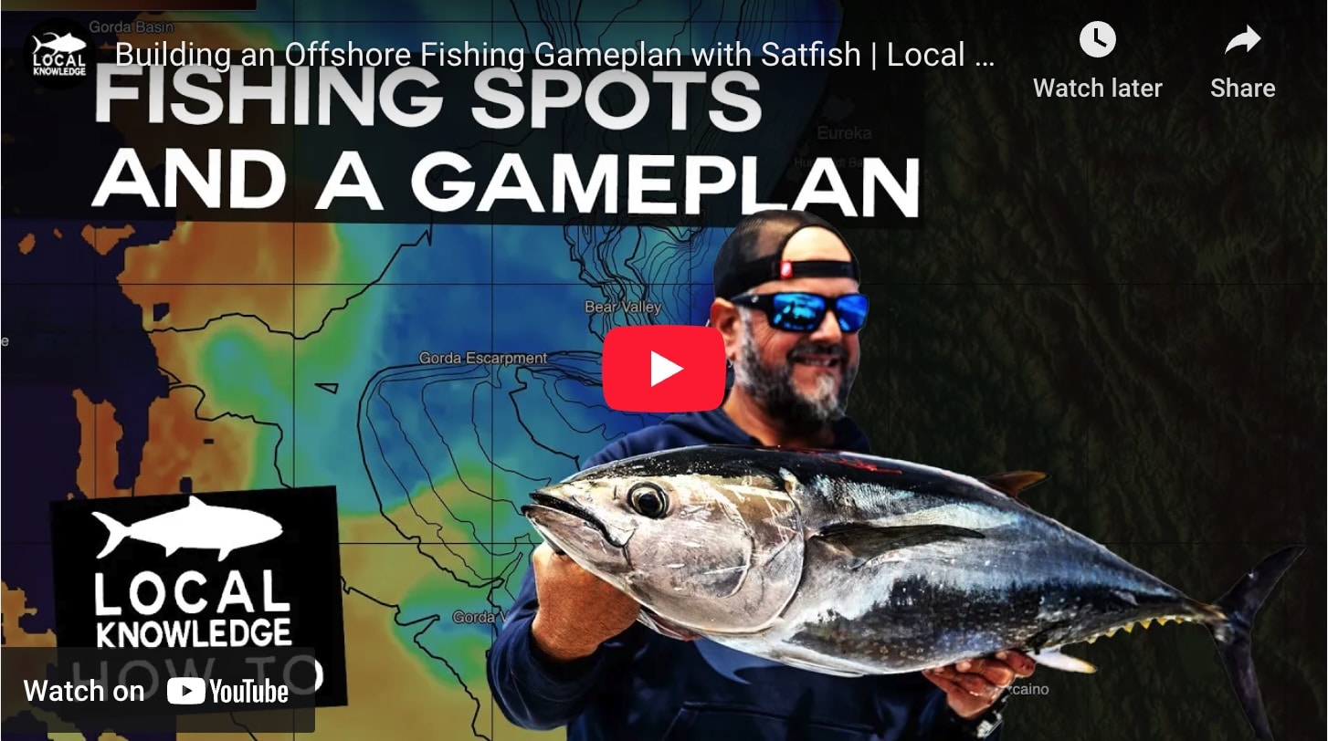
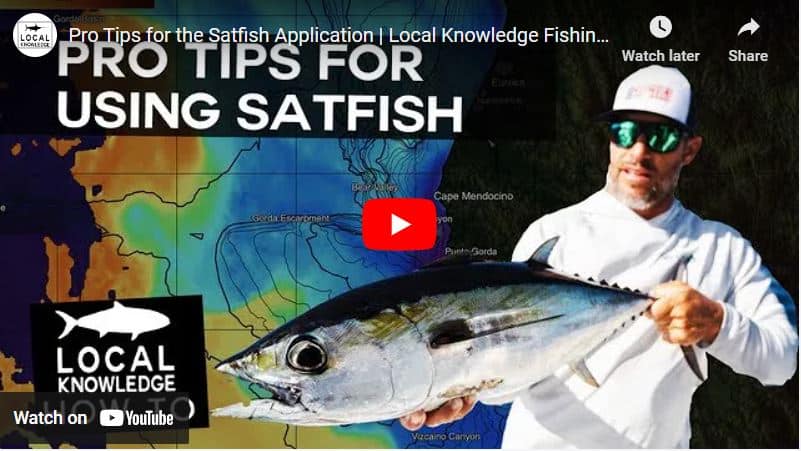
In this video, Capt. Ali Hussainy of Local Knowledge explains why SatFish is such a valuable tool and how to use its features like Sea Surface Temperature Charts and Chlorophyll Charts to identify areas of water that may be holding fish.
cloud-free sst
-VIDEO- Here on the Pacific coast we have a ton of cloudy days which block high-def SST maps, but we’re not about to let a little cloud cover get in the way of our offshore fishing plans! SatFish has several tools honed from decades of experience to help you keep track of water temps and breaks.


