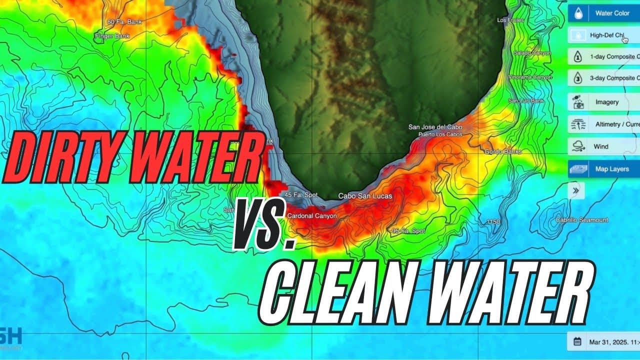
In this video, we walk through how to use Satfish to plan your offshore fishing trips more effectively. Starting from the Satfish dashboard, you’ll learn how to navigate regional maps—like the Baja, Los Cabos, and East Cape zones—and use satellite imagery to track sea surface temperatures (SST) and chlorophyll levels. Follow along as we monitor… READ MORE
sea surface temperature
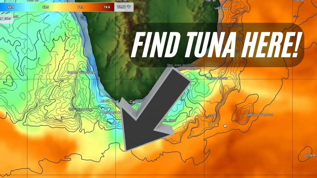
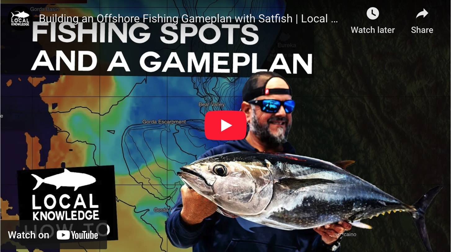
In this detailed SatFish tutorial, Captain Ali Hussainy from Local Knowledge breaks down exactly how to interpret Sea Surface Temperature (SST) and Chlorophyll maps to locate productive offshore fishing zones. Learn the differences between High-Definition SST, 3-day Composite SST, and the Cloud-Free SST charts, and understand when to use each to maximize your fishing trips…. READ MORE
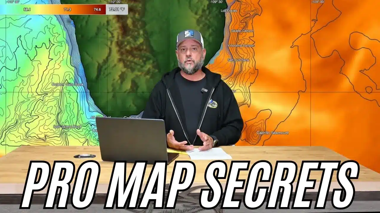
Join Captain Ali Hussainy from Local Knowledge as he reveals his essential offshore fishing tool—SatFish, the ultimate “know-before-you-go” mapping software and app designed specifically for anglers. In this video, Ali demonstrates how SatFish’s ultra-high-resolution sea surface temperature (SST) and chlorophyll maps help pinpoint productive fishing areas before you even leave the dock. Learn how interpreting… READ MORE
The definition of “peak anticipation” is the excited squawking of shearwaters and terns as they dip and dive above the water’s surface, where below lurks one of the fastest, sleekest predators in the ocean. Watching the birds get closer as the squawking gets louder, followed by human exclamations of excitement as a frothing explosion erupts… READ MORE
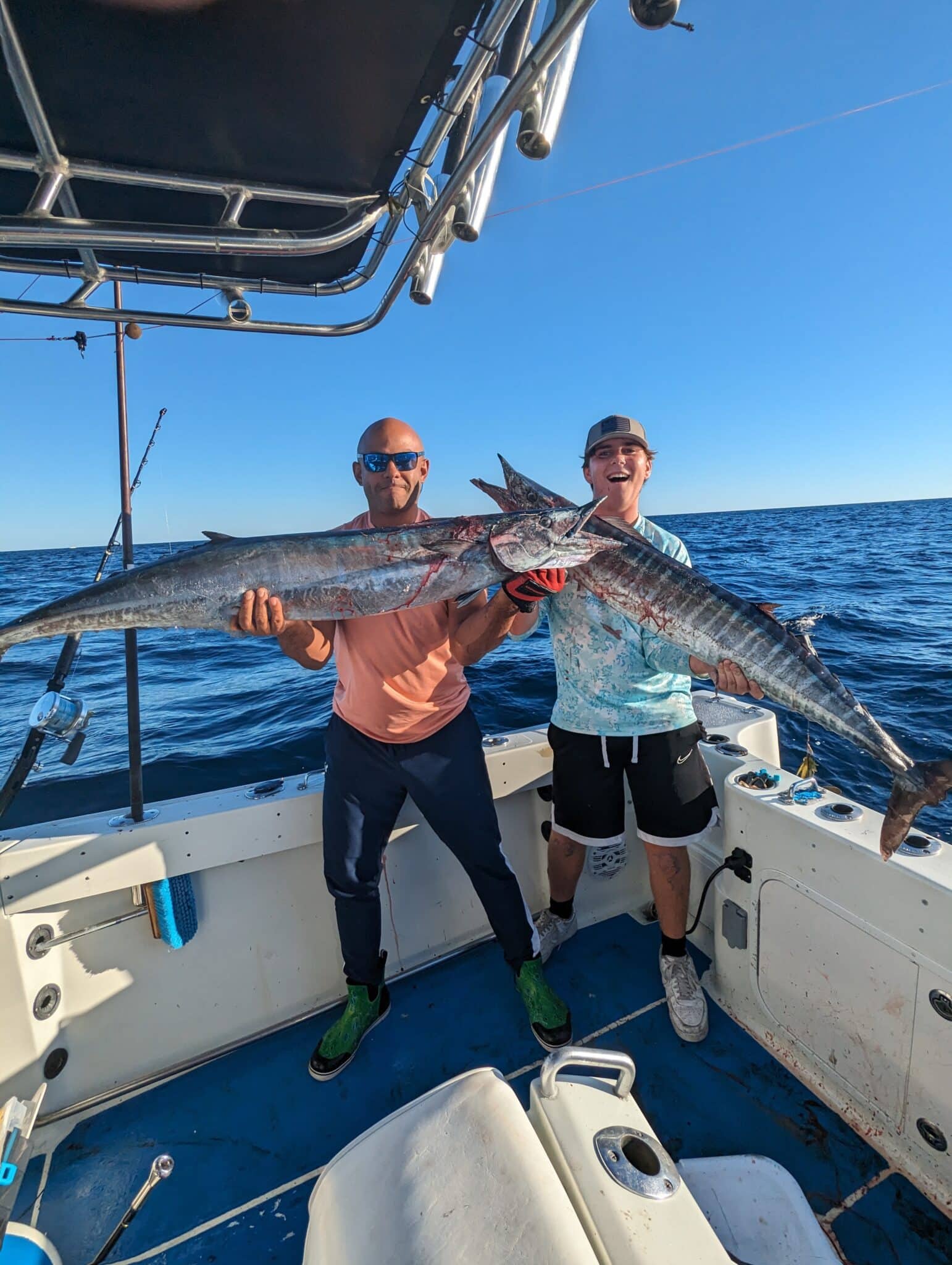
Capt. Ryan Van Fleet of Good Karma Sportfishing shares how he uses SatFish SST, chlorophyll, and currents charts to find wahoo in the Florida Keys.
In this video, Capt. Ali Hussainy of Local Knowledge explains why SatFish is such a valuable tool and how to use its features like Sea Surface Temperature Charts and Chlorophyll Charts to identify areas of water that may be holding fish.