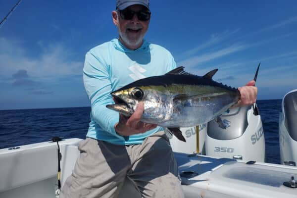
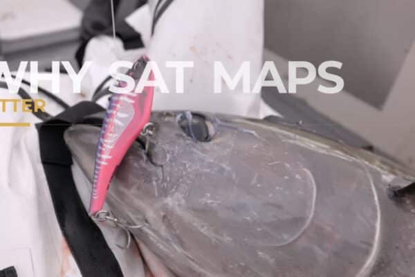
Discover how to maximize your offshore fishing success by mastering the SatFish map interface. In this easy-to-follow tutorial, you’ll learn how to utilize detailed base maps, bathymetric contours, labeled fishing hotspots, latitude-longitude grids, and real-time National Weather Service buoy data directly integrated into SatFish. Whether you’re fishing your local waters or exploring new offshore regions, Captain Ali Hussainy from Local Knowledge shows you exactly how to customize SatFish maps to identify productive fishing zones, underwater structures, depth changes, and current sea conditions. Start leveraging advanced marine mapping to find more fish, save fuel, and fish smarter every trip.
What you’ll learn in this video:
- How to use and customize SatFish base maps and bottom contours.
- Identifying key fishing spots and underwater structures with detailed topo layers.
- Accessing real-time buoy data (wave height, swell, wind) directly from your map.
- Using latitude-longitude grids to easily navigate offshore.
- Tips to personalize your SatFish interface for clearer, clutter-free maps.