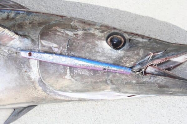
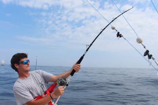
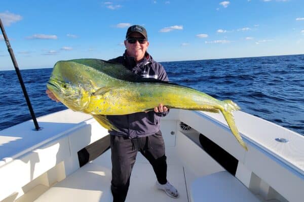
Join Captain Ali Hussainy from Local Knowledge as he reveals his essential offshore fishing tool—SatFish, the ultimate “know-before-you-go” mapping software and app designed specifically for anglers. In this video, Ali demonstrates how SatFish’s ultra-high-resolution sea surface temperature (SST) and chlorophyll maps help pinpoint productive fishing areas before you even leave the dock. Learn how interpreting these detailed, fisherman-driven maps can save you valuable time and fuel while dramatically increasing your chances of locating fish, birds, dolphins, and other marine life offshore. Whether you’re targeting tuna, mahi-mahi, marlin, or wahoo, SatFish equips you with the precise data you need to fish smarter and catch more.
In this video, you’ll learn:
- How to accurately interpret SST and chlorophyll maps.
- Why combining temperature and chlorophyll data is crucial for offshore success.
- How underwater currents affect fish aggregation and how SatFish highlights these prime fishing zones.
- Pro tips from Captain Ali on making confident decisions using real-time map data.