-

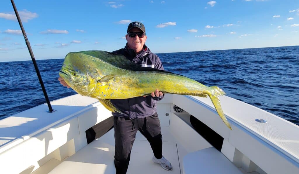
Plan B: Keeping Your Options Open
One of the best, yet hardest parts of fishing offshore is the fact that there are so many options. Best…
-

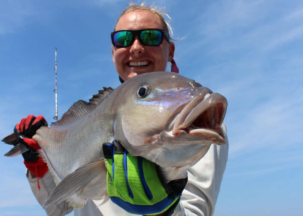
Feeling Blue
Blueline tilefish may not be the most impressive fish in the ocean, but they’re relatively easy to find and almost…
-

Three Under-rated Rigs that Belong in your Offshore Spread—Sometimes
Do you carry these rigs and know when to deploy them? Yeah, everyone always pulls ballyhoo. Sure, splash and spreader…
-

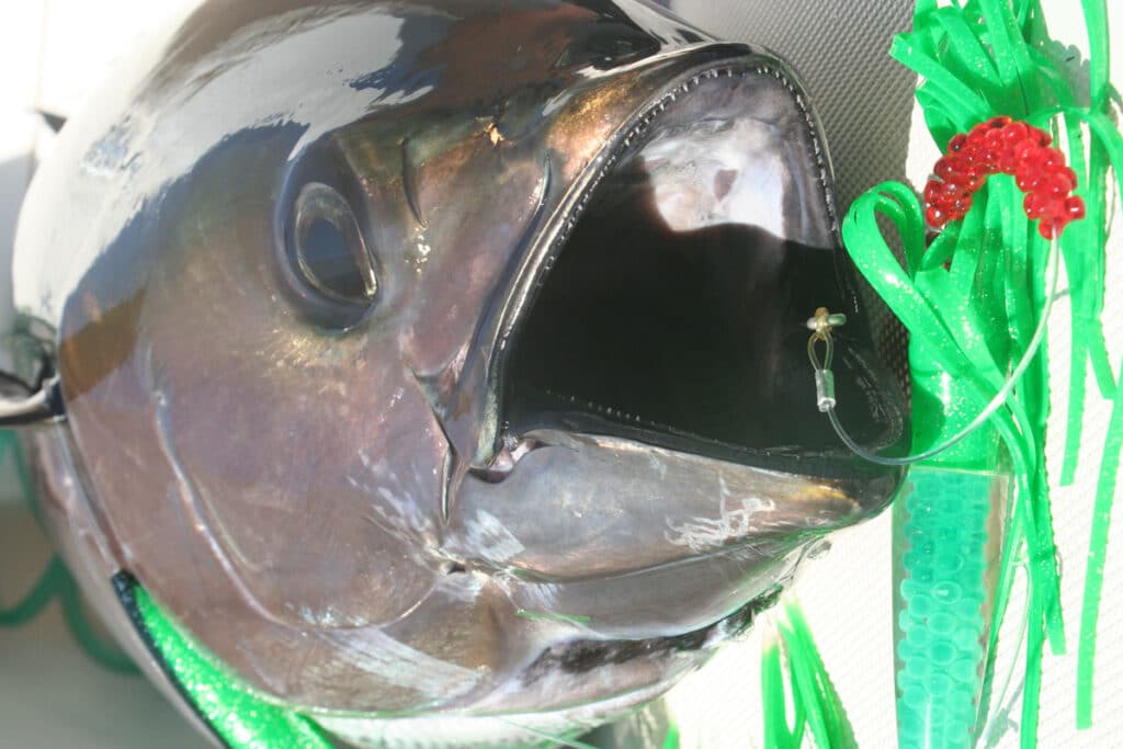
Live Bait Chumming for Blackfin
Trigger a feeding frenzy to load the boat with blackfin. Pound for pound blackfin tuna fight like banshees and while…
-
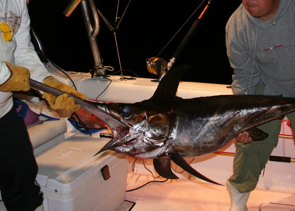
Night Moves: Five Tips for Catching More Fish on Overnighters at the Canyons
Fishing offshore all night long can make for the trip of a lifetime. Spending the night offshore is a blast…
-
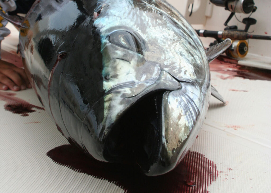
Speed Jigging for Bluefin
When bluefin tuna are sitting deep, speed jigging is fire. You can see bluefin tuna on the meter down deep,…
Satfish Fishing Charts
Satellite Fishing Technology