
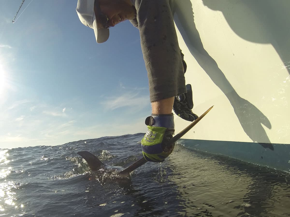
Sea surface height—altimetry in scientific parlance—tells you a lot about the oceanic environment and where you might catch more fish. As you peruse SatFish and check out all the angling-centric intel available to you in addition to the SST data we all know and love, you’ll undoubtedly come across altimetry. This is sea surface height,… READ MORE
cloud cover

There’s a certain kind of quiet that settles in when you open your satellite layers and see nothing but cloud cover stretched across the Gulf Stream. No clean chlorophyll break. No glowing temperature edge. Just white. For many anglers, that’s where confidence drops. But here’s the reality: cloud cover doesn’t shut the ocean down. It… READ MORE

Which form of SST to use, when, and why. When it comes to running dozens of miles offshore, we all wish we knew exactly where the fish were when we put in the waypoint and pulled away from the dock. Fortunately, while none of us can ever be certain we’ve chosen the right destination until the rods go down, our decisions can be far… READ MORE
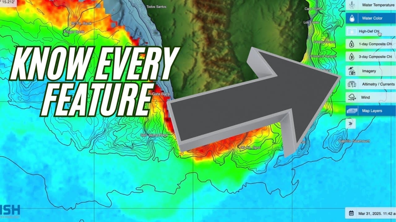
In this step-by-step tutorial, Captain Ali Hussainy from Local Knowledge walks you through all the essential tools and features of the SatFish mapping interface, available on both desktop and mobile apps. Learn how to effectively use high-definition Sea Surface Temperature (SST) maps, chlorophyll charts, GPS coordinates, cloud-free imaging, and route-planning features to maximize your offshore… READ MORE
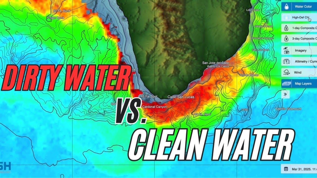
In this video, we walk through how to use Satfish to plan your offshore fishing trips more effectively. Starting from the Satfish dashboard, you’ll learn how to navigate regional maps—like the Baja, Los Cabos, and East Cape zones—and use satellite imagery to track sea surface temperatures (SST) and chlorophyll levels. Follow along as we monitor… READ MORE
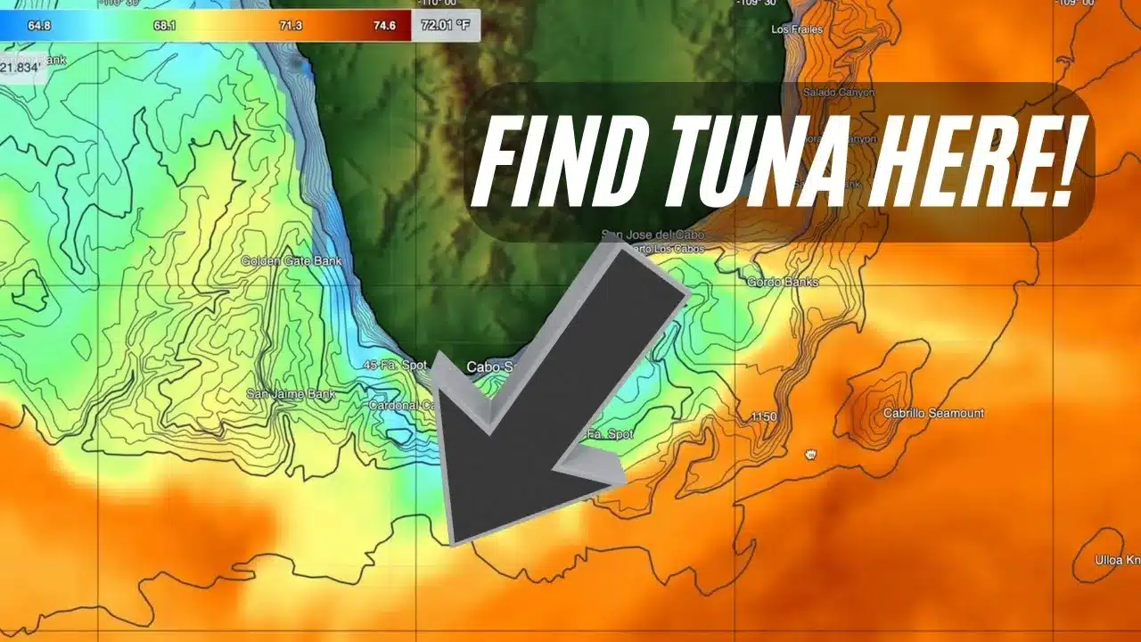
In this detailed SatFish tutorial, Captain Ali Hussainy from Local Knowledge breaks down exactly how to interpret Sea Surface Temperature (SST) and Chlorophyll maps to locate productive offshore fishing zones. Learn the differences between High-Definition SST, 3-day Composite SST, and the Cloud-Free SST charts, and understand when to use each to maximize your fishing trips…. READ MORE